We started the day with a balloon floating over the campground.


Views in the high country.


Up in the Forest near Jerome, Az
We started the day with a balloon floating over the campground.
Views in the high country.
Up in the Forest near Jerome, Az
Andrew, my sister Laurie’s son, married Jessica on the 30th of October. This was one of Dad’s last function he was able to attend.


Jessica
Jessica and Andrew

Sister Jackie, Dad, and sister Laurie (grooms mom)

Mom and Dad with Andrew and Jessica.
After Horseshoe bend we went to see the Glen Canyon Dam / Lake Powell.
Here are a few photos of the Colorado River and the Glen Canyon Dam with Lake Powell behind it.

The Other Direction


This the the Glen Canyon Dam Bridge:
-700 feet above the Colorado River, 1028 feet long arch, 30 feet wide.

The start of Lake Powell.
After we Antelope Canyon Tour we went home for lunch then went to Horseshoe Bend area on the Colorado River.
We had about a 3/4 mile walk from the parking lot for Horseshoe Bend to the actual viewing area.
What a view!!!!!!!!!!!!


The walk to the viewing area.

One View

Anouther View

Teri on her belly looking over the 1,000 foot drop.
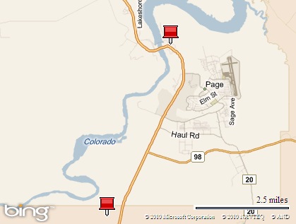
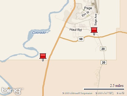
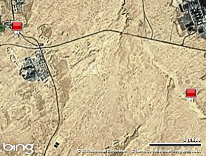
This morning we took a tour to Antelope Canyon. We drove to a strip mall location in page and jumped into one of the 4-wheel drive trucks and off we went down the highway to Antelope Canyon on the Navajo Indian Reservation just a few miles east of Page, Arizona.


We are through the canyon to the upside entrance to this canyon.
Then the return trip.


We found this canyon incredibly beautiful. (We took about 300 photos on this morning)
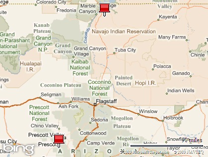
Today we are moving into Arizona.
Today is a road trip to Page, Arizona.
The Start of the Day.

The road view near Moab:

Lunch Stop:


The Navajo First Nations land nearing Page, Arizona

The End.
Today we went to Arches National Park. I wanted to do two walks
This moderately strenuous trail begins near the Wolfe Ranch cabin, crosses a bridge over Salt Wash, and continues up the long stretch of open slickrock to Delicate Arch. The trail also winds through an area full of chert – a hard, shiny rock used by Native Americans for tools and weapons – and around a short ledge, hugging a steep cliff.
Trail data
Length: 1.5 miles (2.4km) one way.
Elevation Change: 480 feet (146 meters) – all uphill. Return – all downhill.

Part of the 480 foot uphill on the slickrock.

– and around a short ledge, hugging a steep cliff.

the view across from the ledge

We made it.

That is ME on the arch!

This photo is taken from little arch.
We took the hike between the tall sandstone fins to the Devils Garden to see Landscape Arch, perhaps the world’s longest.
The complete Devils Garden trail, including side spurs and the Primitive Loop, is the longest hike on maintained trails in Arches, about 7.2 miles. Most people, however, choose the two-mile out-and-back option, i.e., stroll down the "super-trail" (flat, easy, double-wide, and crowded) to Landscape, relax under the mysteriously suspended ribbon of stone, then stroll on back to the Honda. We took the two mile out and back option.

Trail head.

Landscape Arch:
The span is 306 feet long.
On Sept. 1, 1991 a 60 foot long rock slab peeled away from the arch’s right side. When the dust settled, 180 tons of fresh rock debris lay scattered on the ground.

Side trip to Tunnel Arch.

Pine Tree Arch.


Moab, Utah or Jeep town.